Showing posts with label Island in the Sky. Show all posts

Monday, May 7, 2012

Murphy Point Overlook Trail


The Murphy Point Overlook Trail is located in the Island of the Sky District of Canyonlands National Park in southeast Utah. The trailhead is on the west side of the main park road, south of the junction with the west leading Upheaval Dome road.


The trailhead sign says it is 1.8 miles to the overlook, or a 3.6 mile round trip. The Murphy Trail branches off to the left after 0.5 miles and leads down to the White Rim Road via two different routes.


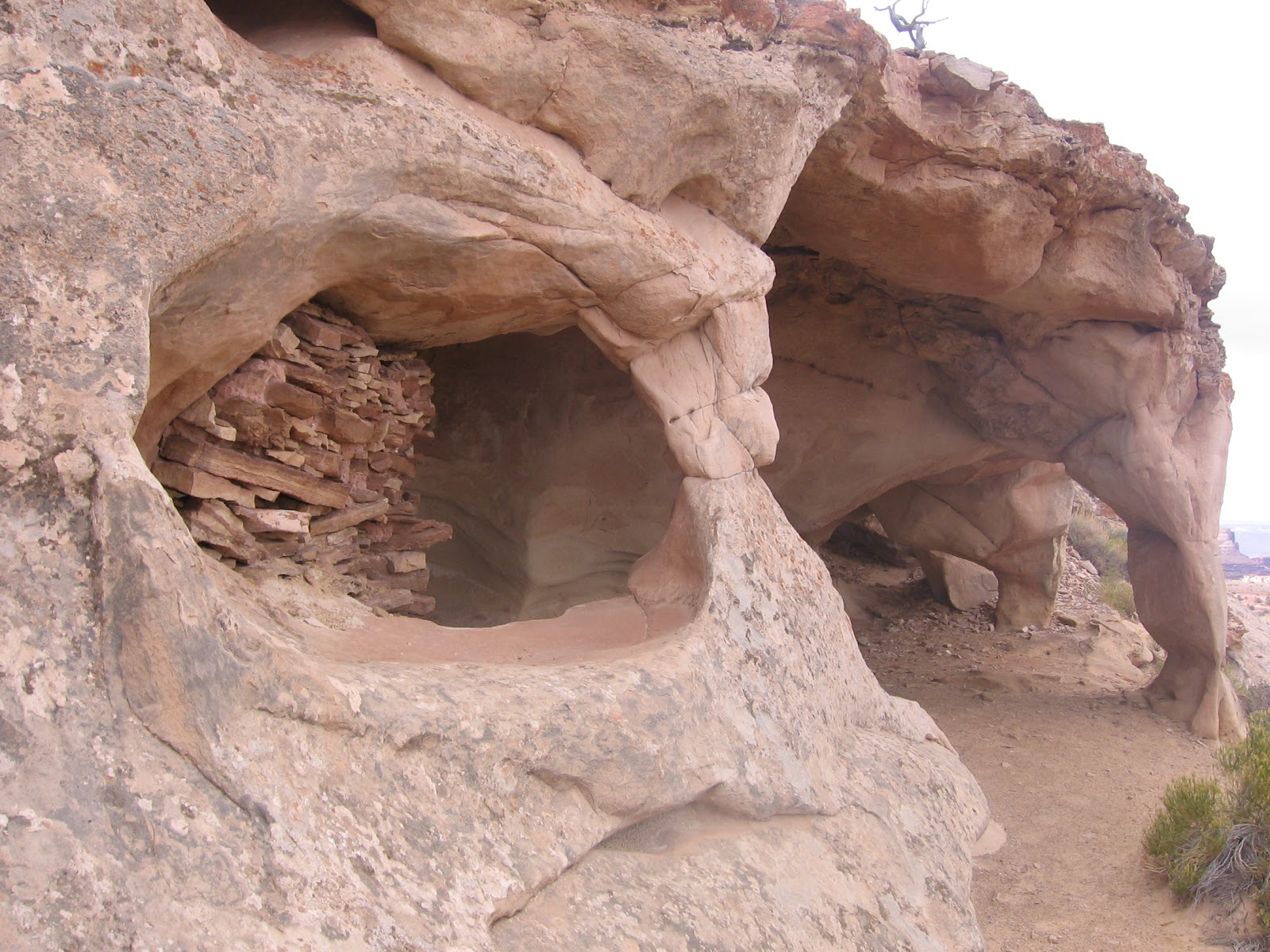
The first segment of trail looks like an old road and passes through a pasture like area. There is an old corral along the way. The vegetation changes gradually from the grassland, to a mix Mormon Tea and Blackbrush, and then to rocky Pinon and Juniper desert vegetation.


The best wildflower I saw along the first segment was a cactus. This one happened to have a small lizard climbing on it. There were many of these small lizards along this segment.


About two-thirds of the way to the overlook, there are some views to the west toward the Candlestick Tower. Some of the narrow finger-looking canyons that are visible from the Grand View Point appear here also. As the terrain changes from pasture to rocky desert, the trail becomes a route marked with rock cairns.


There are also some glimpses of the Green River. The formation known as the Turk’s Head is visible in the area where the Green River makes a loop.


At the overlook, there are some of the wide spectacular views for which Canyonlands is famous. I think the formation below to the southwest is called the Murphy Hogback and one of the two branches of the Murphy Trail is visible.


Looking to the southeast, Grand View Point is visible to the left with Junction Butte to the right. My hike for 3.6 miles took 1:30 hours on a 68 F degree early May day. I only saw 5 other hikers on an otherwise busy day weekend day.


528614_Cool Camo Russell Outdoors

Wednesday, March 16, 2011

Lathrop Trail

The Lathrop Trail is one of the six long trails that descend off of the Island in the Sky District of Canyonlands National Park in southeast Utah. This is the only trail that leads all the way to the Colorado River, a distance of 10.8 miles. The trailhead is 1.8 miles south of the Visitor Center.

The first segment crosses the broad Gray’s Pasture, an area of grasses, Mormon Tea and a few scattered shrubs. I scanned this area with binoculars for any grazing animals but didn’t spot any at mid morning. There is a slight crest where the view changes and an old storage building is visible to the north. It took me about 30 minutes of hiking to cross the grassy pasture area.
 
The terrain then changes to bare rock with rock cairns marking the way. The views become spectacular with buttes, mountains, and glimpses of the Colorado River below.

 There are two flat mesa top areas along this segment, a change of pace from the jumbled rocks.


Views of the White Rim area show some finger like canyons that are similar to those visible from the Grand View Point.

At the same view point is a broad sweep of the massive Wingate Sandstone cliffs. The challenge of hiking in the Island of the Sky is to find a place to get past these cliffs.

After about 2.5 miles, the trail descends slightly and follows a ledge for about 0.5 miles with views toward Airport Tower. Some of the White Rim area campsites are designated as the Airport sites. Looking over the edge, the trail down to the While Rim is visible in the deep canyon below.
 
I turned around after 1:40 hours at the point where the trail begins to descend steeply through the Wingate Sandstone. From a distance it is hard to see a trail down but I watched two other hikers zig zag down. The return hike took 1:30 hours for a total hike of 3:10 hours for about 6.5 miles. I carried and drank 2 liters of water on a 58 F degree mid March day.


Tuesday, March 15, 2011

Alcove Springs Trail

The Alcove Springs Trail is one of the six long trails that descend off of the Island in the Sky District of Canyonlands National Park in southeast Utah. The trailhead is 3.6 miles west along the Upheaval Dome Road.

The trailhead information says that it is 5.6 miles to Taylor Canyon and 11 miles to the White Rim Road with 1300 feet of elevation change. The first segment descends steeply, mostly on bare rock with good footing. The area below is named Trail Canyon and there are some of the spectacular views for which Canyonlands is famous, featuring the steep cliffs of Wingate Sandstone.

The large alcove with a spring that the trail is named for comes into view after only about 5 minutes of hiking. The approach to the alcove veers close to the sheer canyon wall and the descent to the alcove is about 440 feet. The alcove appears to be Navajo Sandstone sitting on top of the Kayenta layer.

There is a small pile of rubble in the right end of the alcove that I thought looked like a possible ruins site, but it’s hard to tell. The setting here is similar to the nearby photographer favorite False Kiva. With a source of water here, it seems likely that the early inhabitants would have visited this large alcove.

I stopped at the level of the alcove after 20 minutes of hiking. There are good views toward the canyon bottom where the trail continues toward the left near the dry wash. My total hike of about 1 mile took 0:50 minutes on a 60 F did March day.


Tuesday, March 30, 2010

Wilhite Trail

The Wilhite Trail is a 6.1 mile route with 1600 feet elevation change in the Island in the Sky District of Canyonlands National Park in southeast Utah. The trailhead is west along the Upheaval Dome side road.


The first segment of trail crosses a section of the mesa top Island through scattered Pinon Pines and Utah Junipers. There is one point with a good view toward the Green River canyon with the Henry Mountains rising above the Wingate sandstone cliffs. The trail is heading for one of the few gaps in the Wingate cliffs that allow a descent. There are six long trails in the Island in the Sky that travel from the the grassy mesa top to the White Rim Road that circles around below.


The descent through the gap in the cliffs is scary looking from both the top and the bottom. The upper switchbacks are gradual and easy walking, but further down there is some minor scrambling.


The going is slow through this section whether descending or climbing, but the views are spectacular. The route through the jumbled rocks is well marked with rock cairns.


At the bottom the trail turns south and works along another canyon rim, coming very close to the edge in some places. Candlestick Tower is in view for the rest of the hike.

This segment is about 1 mile before the trail turns west and makes a final descent to the red Martian looking surface below.


Looking back toward the north, there is a large alcove visible. The different layers of sandstone in this part of Canyonlands are clear here. The massive Wingate cliffs seem to dive down, as does the ledgy Kayenta layer. The smooth layer on top is the Navajo sandstone, the same as the nearby Whale Rock Trail. The whole sequence sits on top of the softer shale and mudstone Chinle layer.

The view from inside the alcove toward Candlestick Tower is a favorite of photographers and features an Indian ruins circle of stones that is known as the False Kiva. There is an obscure trail leading into the alcove that is not mentioned on park maps and seems to be somewhat jealously guarded, in the name of preservation, by those who know where it is. The ruins are similar to the circle of stones that are along the Aztec Butte Trail, but it is the view in combination with the stone circle that seems to be special.

I turned around at the point where the trail makes the descent to the floor of Holman Springs Basin, near a large boulder. It took me about 2:30 hours to get to this point, about 3 miles down the trail. The rest of the trail doesn’t look as interesting for a day hiker, though the side canyons might be good for a backpacker to explore.

It took me 3:00 hours to return to the trailhead for a total hike of 5:30 hours for about 6 miles. I carried 3 liters of water and drank most of it on a 60 F degree late March day.

544544_$20 off any hotel booking of $350 or more with code TLSALE20

Tuesday, March 23, 2010

Syncline Loop Trail

The Syncline Loop Trail is an 8.3 mile circuit around the Upheaval Dome in the Island in the Sky District of Canyonlands National Park in southeast Utah.


The Upheaval Dome is one of the most interesting features in Canyonlands and may be the remains of a 500 to 1000 foot meteor strike that occurred 60-160 million years ago. The alternate theory is a salt bubble rose and deformed the area. There are interpretive signs discussing the alternate theories on the Upheaval Dome Overlook Trail.


The Syncline Loop crosses the Upheaval Dome Trail a few feet from the trailhead. I turned left but hikers can go either way. Turning left and following around clockwise puts the wide views more in front of you. The descent going clockwise has many switchbacks and is much like walking down stairs. It looks like some of the rocks have been arranged to make the footing easier. Large sandstone outcrops highlight the scenery.

Near the trail beginning there is a sign warning that the trail is strenuous and may be difficult to follow. The 1300 feet of elevation change makes the hike fairly strenuous but it is also well marked with rock cairns and isn’t hard to follow. The upper segment of trail is Pinon Pine and Utah Juniper Forest with the common desert shrubs including Mormon Tea, Prickly Pear and Barberry.


It is 3.4 miles to a signed junction with the Upheaval Canyon Trail that makes a left turn and leads down canyon 3.5 miles toward the White Rim Road and the Green River.
Staying on the Syncline Loop Trail it is another 0.3 miles to the 1.5 mile Crater Spur Trail that makes a right turn and explores the interior of the Upheaval Dome.


The Loop Trail doesn’t have any rim views into the Upheaval Dome crater, so this side trail is the only place to view the interior. This low area of the trail follows a dry wash and vegetation is very sparse.

I met some returning backpackers who had traveled further down canyon and had visited a ruins site near the river. The clockwise route is a shorter distance to the bottom trail junctions and looked to be an easier climb for those carrying a heavy pack.
The trail segment that starts to climb back up the Syncline Valley has some pools of water in the creek and has quite a bit of rock scrambling. The scrambling section is about the midway point of the loop hike.


There is one spot where steps have been carved. There were the remains of some metal bars next to the steps. This might have been a formerly difficult spot that has been made easier. I thought this section seemed a little more slippery with loose material than other parts of the trail.
After the scrambling section, the trail continues to climb but only gradually. In mid March, an always shady segment along the Syncline Creek still had a large snow patch on an otherwise mild day. The 4.6 mile north section of the loop stays in the canyon and doesn’t have any wide views.

My hike took 5:15 hours for the 8.3 miles. I carried 2 liters of water on a 55 F degree mid March day, but I think 3 liters would have been a better choice. I met two groups of hikers taking the counter clockwise route, a group of 2 and a group of 8.


18407_$5 Shipping on Orders of $99 or More! 544544_$20 off any hotel booking of $350 or more with code TLSALE20

Wednesday, September 23, 2009

Upheaval Dome Overlook Trail

The Upheaval Dome Overlook Trail leads to two view points of this unusual circular geologic feature. The round trip to the most distant view point is 1.6 miles. The trail head is at the end of the west leading road in the Island of the Sky District of Canyonlands NP is southeast Utah.

There are two theories attempting to explain Upheaval Dome. The more traditional explanation is that the salt layer below the accumulated sediment pushed upwards. The more recent proposal is that a meteor strike 60 million years ago caused the ¾ mile deep crater.
The trail has many steps carved into the rock to make the walk easier. Even with the relatively easy footing there are some ups and downs over the mostly bare sandstone that will make you stop to catch your breath. Most of the attention is directed toward the crater, but there are also scenic views on all sides. There is the 8.3 mile Syncline Valley Loop Trail that circles the Upheaval Dome and starts at the same point as the Upheaval Dome Overlook Trail.

The trail head area has a picnic area and was very busy on the day I visited. Most visitors stop at the first view point after 0.3 miles. I spent 1:10 hours on the 1.6 mile round trip on a mostly cloudy mid September day. I drank a full liter of water at the end of the hike.

Monday, September 21, 2009

Whale Rock Trail

The Whale Rock Trail is a 1.0 mile round trip to the top of a large sandstone outcrop in the Island of the Sky District of Canyonlands NP in southeast Utah.


The trail head is near the west end of the road leading toward the Upheaval Dome area. The trail head interpretive information emphasizes the adaptations the Pinon Pine and Utah Juniper forest plant community makes to survive in an area with only 9 inches of rain per year. The climb up on top is easy, though it looked like some railings that used to be in place have been removed.
From above it looks like the Whale Rock is actually at the head of a pod of whales circling around the outer edge of the Upheaval Dome. This short hike takes about 30 minutes,

Thursday, September 17, 2009

Aztec Butte Trail

The Aztec Butte Trail is a 1.5 mile round trip to several Ancestral Pueblo granary sites in the Island of the Sky District of Canyonlands National Park in southeast Utah. The trail head is along the paved road that leads west toward the Upheaval Dome area.


The trail follows a sandy route that circles around the small butte that is in front of Aztec Butte. There is a spur trail that climbs the back side to a pair of granary sites just under the rim. I climbed the spur trail first before going on to Aztec Butte. The Canyonlands area doesn’t seem to have any large village sites but has a number of small storage sites and rock art sites.
Further on, Aztec Butte is about a 200 foot climb to the top with the granary sites under the rim on the north side. The butte is one of the highest view points in the immediate area. There are a couple of steep spots climbing up the sandstone face of the Butte that call for a little scrambling. I had a little trouble finding the right spots to put my feet at the point just below the rim but made it up.

On top there is a circular trail that I followed clockwise. There are several small sites along the somewhat narrow ledge overlooking the very deep Trail Canyon.


The alcoves seem to feature a number of small arch formations that act as support columns and entryways. There are four or five sections of ancient walls along the length of the ledge.

There is also a circular structure on the top of the mesa. The Mesa Arch Trail area is visible only a short distance to the east. Also in this area of the park is the Green River Overlook. There isn’t a trail there but there is a glimpse of the Green River and the formations known as Cleopatra’s Chair and the Turk’s Head and others.

There is also some discussion of John Wesley Powell’s expedition of exploration down the Green and Colorado River. He passed by the area of the overlook on July 16, 1869. My hike at Aztec Butte took about 1:15 hours for the 1.5 miles.


Wednesday, September 16, 2009

Grand View Point Trail

The Grand View Point Trail is a 2.0 mile round trip along the rim at the south end of the Island in the Sky District of Canyonlands NP in southeast Utah. From this trail are some of the most spectacular views of Canyonlands.

The three fingered area just below the trail head area is Monument Basin, featuring some tall spires. At the junction of the fingers is the tallest of the monuments, the Totem Pole. The White Rim Road can be seen snaking around the edges of the basin. This road is a favorite with mountain bikers for its endless scenery. The White Rim is about 1000 feet below this view point. The trail travels southwest from the main view point.
The views to the west are towards the confluence of the Green River and the Colorado River. According to the interpretive information, the Colorado River above the confluence was known as the Grand River until 1921, hence the name Grand View Point. The Colorado/Grand River has cut so deeply into the rocks that it is not visible here. In the Needles District of Canyonlands the 5.5 mile Confluence Overlook Trail leads to the point above where the two streams flow together.

At the end of the trail there are views back to the northwest with a glimpse of the Green River. The Green starts in the Wind River Mountain Range in Wyoming. There is a Green River Overlook Point near the Aztec Butte Trail about 6 miles north of this point where some of the same terrain can be viewed from a different angle. My hike on the Grand View Overlook Trail took about 1:00 hour for the 2 miles.