 There are several options for hiking to Devils Lane and the other parallel narrow valleys that are referred to as The Grabens. I started my hike at the Elephant Hill Trail Head and hiked the popular route for 2.7 miles, and turned right onto the northern segment of the Devils Kitchen-Chesler Park Loop. This segment continues for 2.3 miles to the Devils Kitchen backcountry campground area. The Devils Kitchen area is at the east end The Grabens. It took me 2:45 hours to arrive here, about 5 miles of hiking.
Devils Kitchen can also be directly hiked to along the Elephant Hill 4WD loop road. The tall wall formations near the beginning of the Chesler Park Trail reminded me of the Courthouse Towers in Arches National Park.
 The Needles area is always amazing to hike through. This layer of sandstone is the Cedar Mesa layer, a relatively deep layer on the Colorado Plateau. It is well below the Wingate, Navajo and Entrada layers that appear in Arches National Park and other areas of the Canyonlands area.
 The vegetation in this area is dominated by Pinon Pines and Utah Junipers with small shrubs. There are small Gambel Oaks in a few places. The black crusty cryptobiotic soil is common along the trail.
 From Devils Kitchen, it is 0.5 miles west to the 4WD road that runs in Devils Lane. The Devils Lane is a mostly level narrow valley between high rock walls and is a startling contrast from the jumbled and eroded area that surrounds it. The National Park Service has a web site that explains the formation of Devils Lane and the other Grabens.
 The plastic nature of the salt layer underlying the sandstone seems to be the key factor. The Grabens are thought to be sliding toward the Colorado River at a very slow rate. The hiking along the road can be tiring as the footing is very sandy. Despite the deposited soil, the vegetation is very sparse compared to the rocky canyon areas nearby.
 About 1.0 miles south along Devils Lane, there is a pictograph panel on the right. The panel is mostly red hand prints with two notable foot prints. The rock art panel is protected under a small overhang. It is about a 3.0 mile round trip from Devils Kitchen to the pictograph panel. This was about a 1:15 hour side trip.
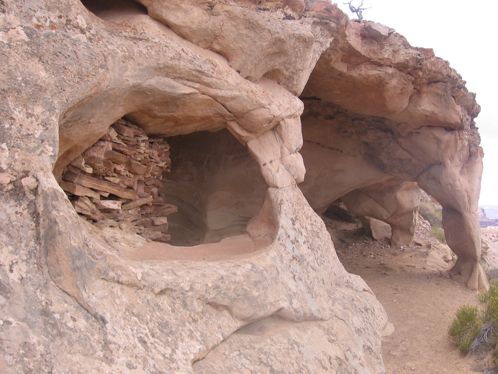
 This panel seemed to be isolated. There are no obvious ruins sites nearby. The Canyonlands area seems to be rich in rock art sites but doesn’t show many habitation sites. There are some small granary storage sites in a few places.
 From the pictograph panel I returned the 1.5 miles back to the Devils Kitchen area and then followed the Elephant Hill 4WD road 3.5 miles back to the Trail Head. Near the junction of the 4WD road and Devils Kitchen, there is a small black hand print pictograph. My total hike was 11.5 miles in 5:30 hours. I carried 3 liters of water on a 65 F degree day in mid October.


 There are two theories attempting to explain Upheaval Dome. The more traditional explanation is that the salt layer below the accumulated sediment pushed upwards. The more recent proposal is that a meteor strike 60 million years ago caused the ¾ mile deep crater.




 The three fingered area just below the trail head area is Monument Basin, featuring some tall spires. At the junction of the fingers is the tallest of the monuments, the Totem Pole. The White Rim Road can be seen snaking around the edges of the basin. This road is a favorite with mountain bikers for its endless scenery. The White Rim is about 1000 feet below this view point. The trail travels southwest from the main view point.
